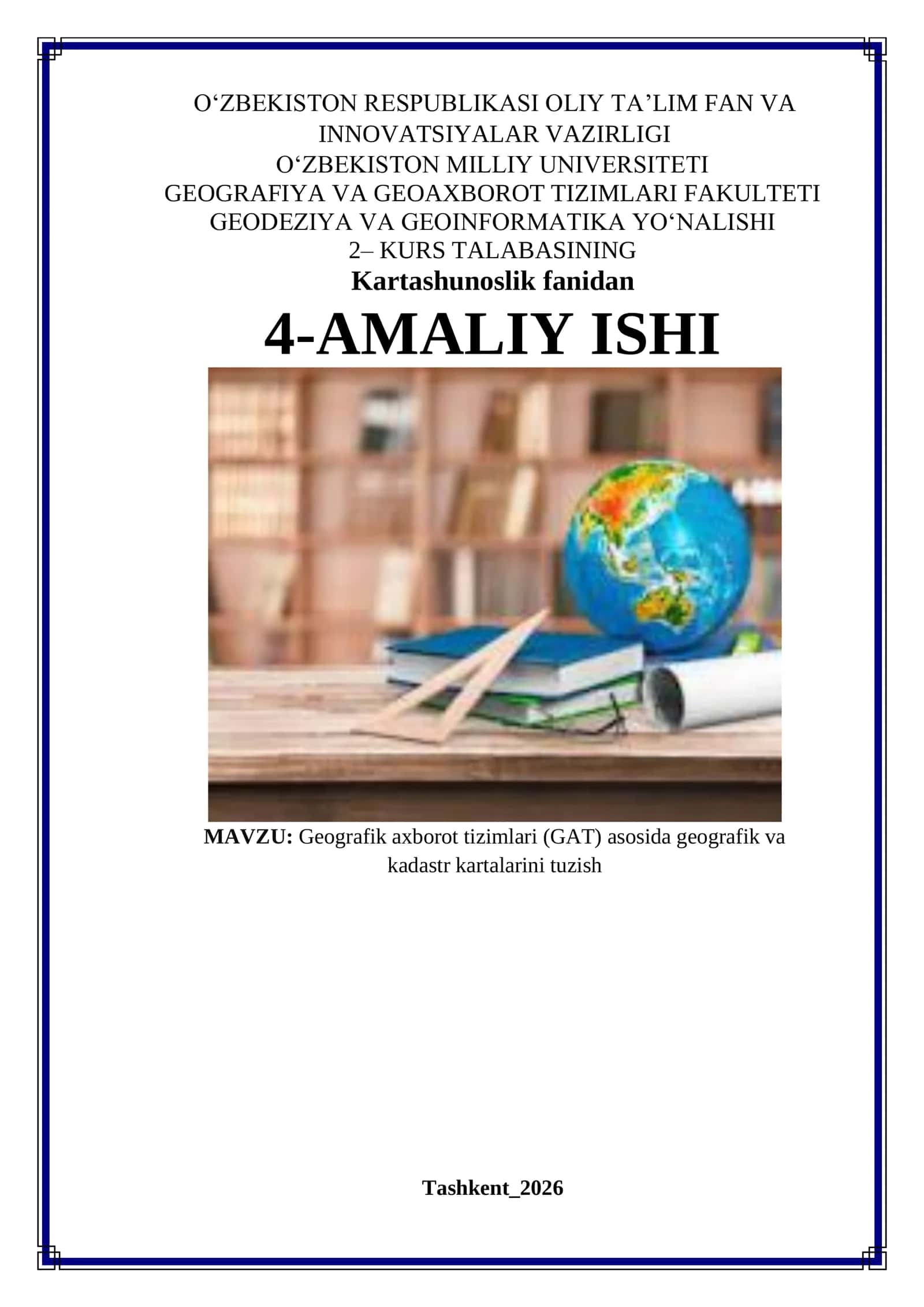
Mahsulot tavsifi
This course covers managing natural disasters through spatial methods, focusing on environmental conservation with Geographical Information Systems (GIS) and remote sensing.
#geografik axborot tizimlari#atrof muhofazasi#masofadan ma'lumot olish
Muallif
Only PDFTasdiqlangan muallif
- Hujjatlari
- 1 604
- Sotilgan
- 103